Vancouver Island
Hiking on Vancouver Island
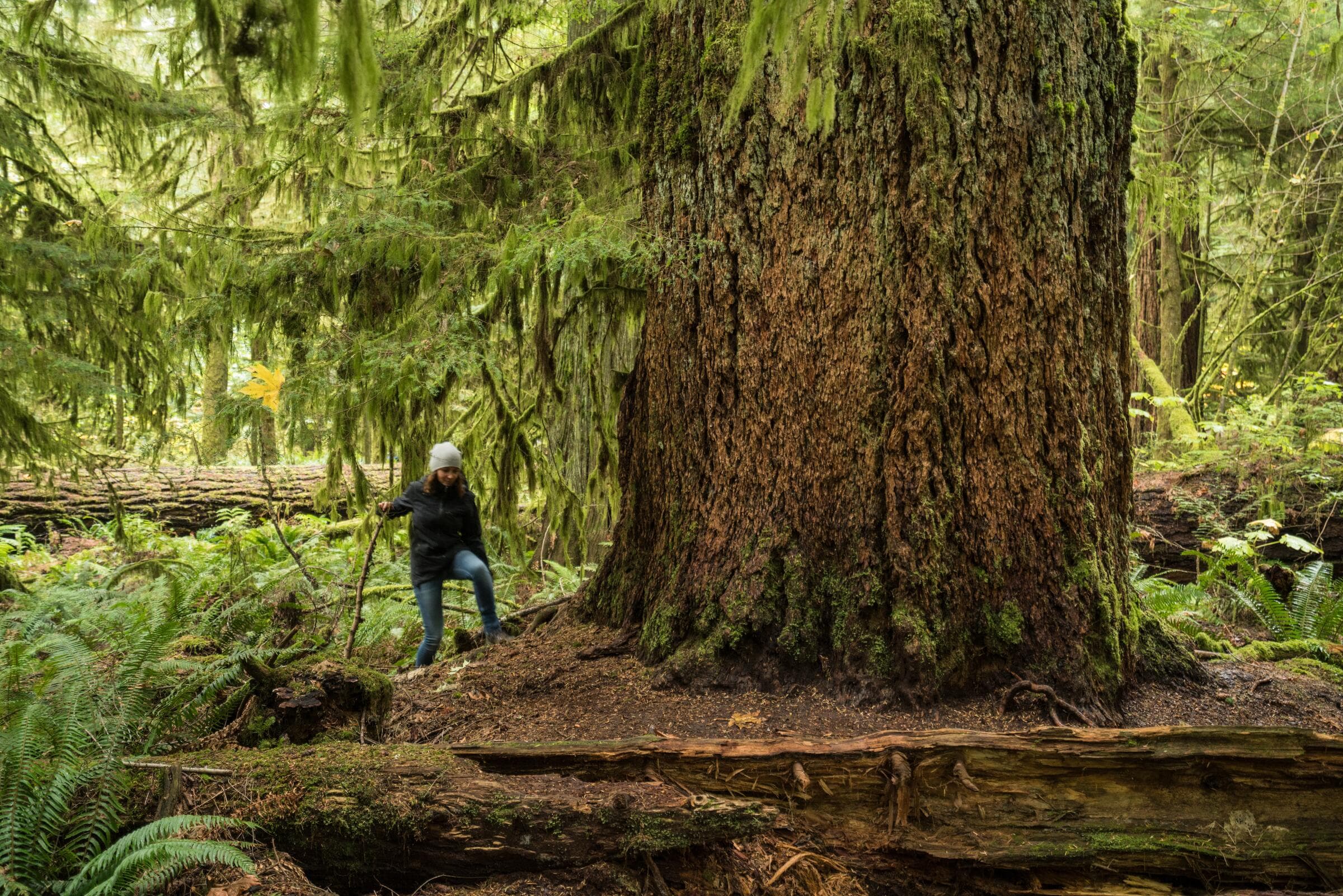
Boardwalks through rainforest, headlands above open water, and alpine that holds snow into July. The distance on the sign tells you almost nothing — the surface and the season tell you everything.
- 13 places on this page
- 15 towns
- 4 upcoming
Trailheads and trail parks we list
Park & Nature
Glenora Trails Head Park
Duncan
4.8on GoogleRated 4.8 out of 5 on GoogleTrailhead in Duncan with hiking and biking routes, plus picnic areas.
Park & Nature
Rainforest Trail
Tofino
4.8on GoogleRated 4.8 out of 5 on GoogleTrail through old-growth forest in Pacific Rim National Park.
Park & Nature
Sea to Sea Regional Park Trailhead
Sooke
4.8on GoogleRated 4.8 out of 5 on GoogleTrailhead for hiking and birdwatching routes, rated 4.8.
Park & Nature
Lighthouse Country Regional Trail
Qualicum Beach
4.7on GoogleRated 4.7 out of 5 on GoogleNature trail with wildlife viewing and scenic viewpoints.
Hiking
The Abyss Trailhead
Nanaimo
4.5on GoogleRated 4.5 out of 5 on GoogleTrailhead in Nanaimo with geological features.
Park & Nature
Nature’s garden trail
Qualicum Beach
4.3on GoogleRated 4.3 out of 5 on GoogleFamily-friendly nature trail with wildlife.
Park & Nature
Wickaninnish Trail
Tofino
Trail in Pacific Rim National Park Reserve on the west coast.
Park & Nature
Parksville Wetlands Trail
Parksville
4.5on GoogleRated 4.5 out of 5 on GoogleWetlands trail for wildlife viewing in Parksville.
Park & Nature
Loudon Park and Trail
Nanaimo
4.4on GoogleRated 4.4 out of 5 on GoogleVictoria Ave park in Nanaimo with trails and kayaking access, rated 4.4.
Grading here is about surface, not distance
A four-kilometre trail on the island can be a level boardwalk or an hour of wet root and rock scramble. Rainforest trails hold water, roots polish to glass, and mud persists weeks after the rain stops. Elevation profiles under-describe the effort because the slow part is the footing, not the climb.
Read trail descriptions for words like root, rock, boardwalk, gravel and exposed before you read the kilometres. Then add a third to whatever time is suggested if it has rained in the last week.
Three environments, three seasons
Low-elevation forest and coastal trails are walkable all year and are at their best in the wet months, when the moss is luminous and nobody else is out. Mid-elevation trails come good from late spring. Alpine routes hold snow well into summer and are genuinely in season for a short window — usually midsummer to early autumn.
The single most common visitor mistake on the island is planning an alpine hike for early summer. Check recent trip reports rather than a calendar.
What to carry
- Waterproof boots with grip
- Wet root and rock is the defining surface here. Trail runners with worn tread are the usual cause of a bad day.
- A shell, always
- Even a clear forecast. A light waterproof weighs nothing and turns a miserable hour into an ordinary one.
- Offline maps
- Download before the trailhead. Signal disappears within minutes of leaving the road on most trails.
- Bear awareness
- Black bears are present throughout the island. Make noise on blind corners, keep food sealed, and know what to do if you meet one.
Big parks with more than one route
Where a wet forecast, a short afternoon or a mixed-ability group can all be accommodated from one car park.
Park & Nature
Mount Erskine Provincial Park
Salt Spring Island
4.9on GoogleRated 4.9 out of 5 on GoogleHiking trails including Trustees Trail climb to viewpoints above Salt Spring Island.
Attraction
Pacific Rim National Park Reserve
Port Alberni
4.9on GoogleRated 4.9 out of 5 on GoogleNational park reserve with Long Beach, the West Coast Trail and the Broken Group Islands.
Park & Nature
Stoney Hill Regional Park
Duncan
4.9on GoogleRated 4.9 out of 5 on GoogleRegional park near Duncan with wildflowers and birdwatching.
Park & Nature
Francis/King Regional Park
Victoria
4.8on GoogleRated 4.8 out of 5 on GoogleConservation forest with nature trails including accessible routes.
Weather, daylight and turning back
Coastal weather changes inside an hour and fog can close a ridge while you are on it. Carry a shell even on a clear morning, and carry a headtorch from September onward — dusk arrives fast under canopy, well before the official sunset.
Cell coverage is patchy to absent on most trails here. Download the map before you leave the car park, tell somebody your plan, and set a turnaround time that you actually keep.
Hiking by town
Places, events and things to do, town by town.