Vancouver Island
Road trips on Vancouver Island
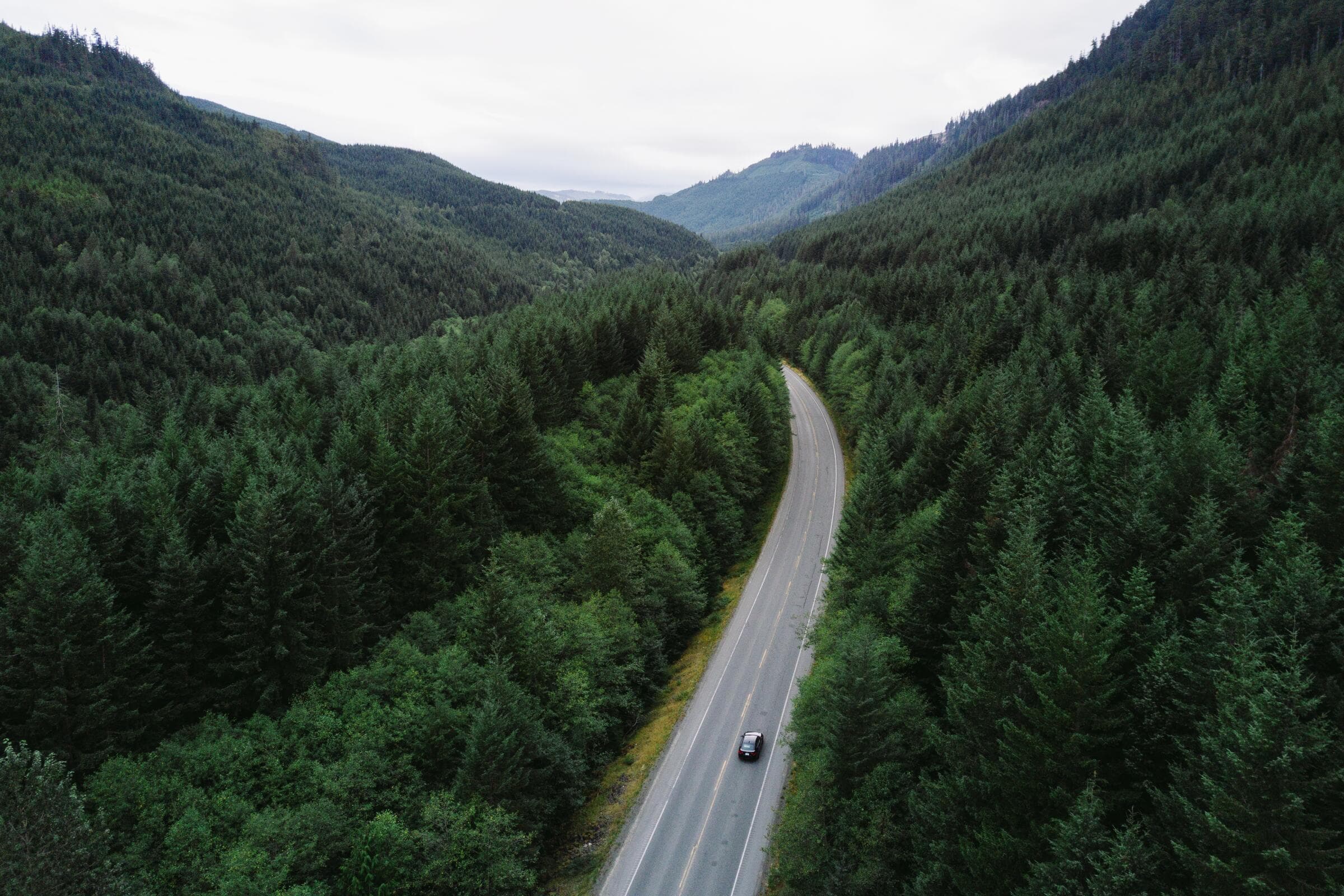
Two-lane roads, one main highway, and distances that take half again as long as the map claims. Plan fewer stops than you want and you will enjoy all of them.
- 13 places on this page
- 15 towns
- 4 upcoming
Lookouts and stops we list
Park & Nature
Alberni Valley Lookout
Port Alberni
4.8on GoogleRated 4.8 out of 5 on GoogleValley lookout with walking trails.
Park & Nature
Little Mountain Lookout
Parksville
4.8on GoogleRated 4.8 out of 5 on GoogleScenic lookout accessed by hiking trail.
Park & Nature
Ripple Rock Hike Lookout
Campbell River
4.8on GoogleRated 4.8 out of 5 on GoogleTrail to a lookout point, with wildlife along the route.
Park & Nature
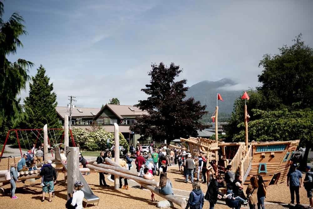
Anchor / Third Street Park & Lookout
Tofino
4.6on GoogleRated 4.6 out of 5 on GooglePark with a lookout and picnic area.
Hotel & Accommodation
Ole's Hakai Pass Fishing Lodge
Campbell River
5.0(5)Rated 5 out of 5 from 5 reviewsOle's is a fishing lodge floating in Hakai Pass, with guided salmon and halibut fishing.
Hotel & Accommodation
Mariner's Lookout on Comox Bay
Comox
4.9(11)Rated 4.9 out of 5 from 11 reviewsTours & Activities
Remote Passages Marine Excursions
Tofino$$
4.8on GoogleRated 4.8 out of 5 on GoogleWhale watching and wildlife tours in Clayoquot Sound.
Tours & Activities
Compass Adventure
Comox
4.7(15)Rated 4.7 out of 5 from 15 reviewsAttraction
Discovery Passage Aquarium
Campbell River$
4.6on GoogleRated 4.6 out of 5 on GoogleNon-profit aquarium at the base of Discovery Pier with touch tanks displaying local marine species from spring through season's end.
The shape of the road network
One main highway runs the length of the inside coast, with a handful of routes cutting west across the mountains to the exposed side. Almost everything else is two-lane, winding, and interrupted by towns. There is no fast way across, and the cross-island routes are slower, steeper and more beautiful than the highway.
Add half again to whatever a mapping app tells you. It does not know about the logging truck, the town with the four sets of lights, or the fact that you will want to stop.
Fuel, food and phone signal
Fill up in towns rather than between them. On the cross-island and northern routes, the gap between fuel stations can be a hundred kilometres and the last one may close at six. The same applies to food: plan lunch around a town, not around a hunger.
Cell coverage disappears on most of the cross-island stretches and much of the north. Download offline maps before you leave, and tell somebody your route if you are going properly remote.
On the road
- Add 50% to the estimate
- Two-lane roads, towns, trucks and the stops you will actually want to make.
- Fuel in towns
- Gaps of a hundred kilometres are normal on cross-island and northern routes, and stations close early.
- Offline maps, always
- Signal vanishes on the cross-island stretches. Download before you leave the coast.
- Forest service roads are working roads
- Loaded logging trucks have right of way. Clearance, a full-size spare, headlights on.
Worth pulling over for
Parks, historic stops and picnic ground close to the main routes.
Park & Nature
Heritage Forest
Qualicum Beach
4.7on GoogleRated 4.7 out of 5 on GoogleForested park with hiking trails and picnic areas.
Park & Nature
Lighthouse Country Regional Trail
Qualicum Beach
4.7on GoogleRated 4.7 out of 5 on GoogleNature trail with wildlife viewing and scenic viewpoints.
Park & Nature
ȽÁU,WELṈEW̱/John Dean Provincial Park
Sidney
4.7on GoogleRated 4.7 out of 5 on GoogleTrails for hiking and wildlife viewing, with picnic areas.
Park & Nature
Fossli Provincial Park
Port Alberni
4.6on GoogleRated 4.6 out of 5 on GoogleForest trails and picnic sites in the Alberni Valley.
Ferries and forest service roads
Any island leg is governed by the sailing timetable, and vehicle space fills on summer weekends and holidays. Check the schedule first and build the day around it rather than the other way round.
Forest service roads are active industrial routes, not shortcuts. They demand clearance, a full-size spare, headlights on, and yielding to loaded trucks. Plenty of the best places here sit at the end of one — go prepared or do not go.
Road trips by town
Places, events and things to do, town by town.